
About Us
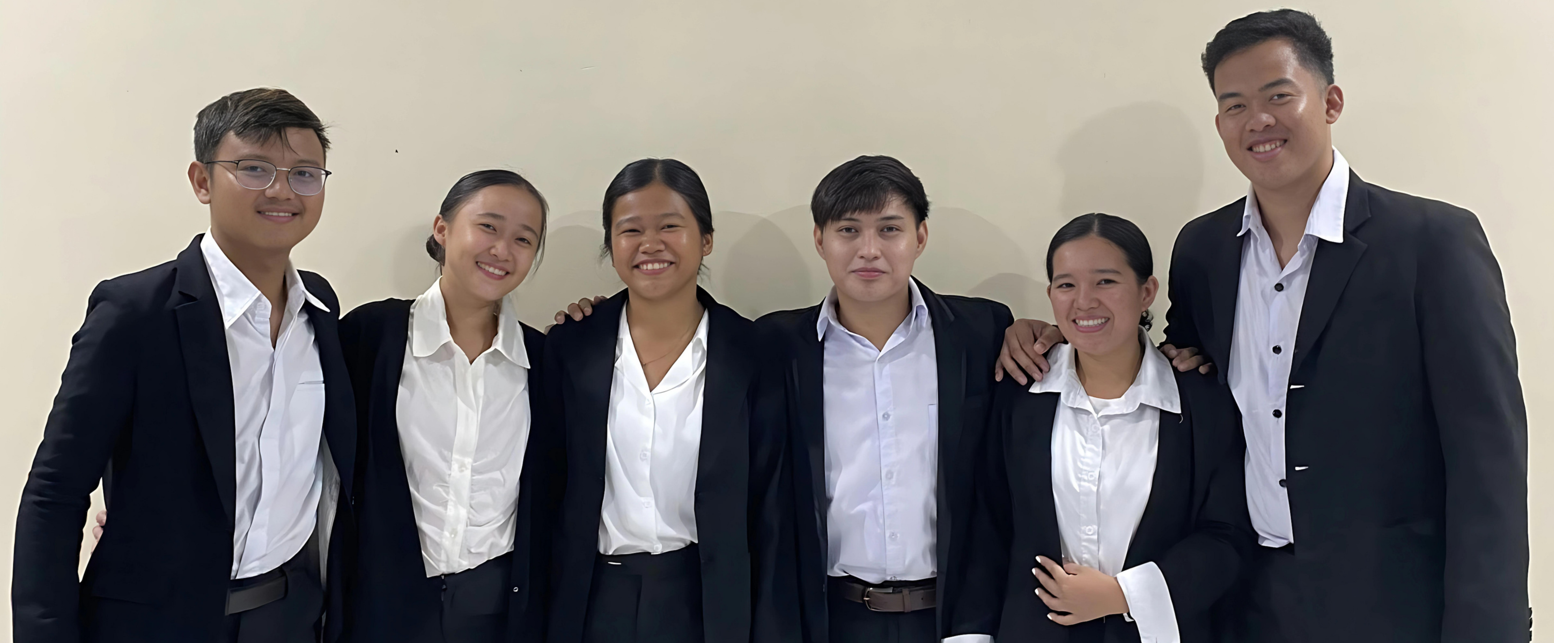
We are Geothermal Engineering Students of Negros Oriental State University whose research focuses on QGIS and its role in geothermal exploration. Our goal is to map geothermal surface manifestation and study its characteristics and thermal water properties through laboratory test. In order to provide precise location of the studied geothermal surface manifestation area. We strive to utilize QGIS (Quantum Geographic Information System) - a software that allows users to create, edit, visualize, and analyze geospatial data, to map out potential geothermal resources, thus providing interactive information that can help people in understanding the characteristics and properties of the studied geothermal surface manifestation specifically thermal springs.
Disclaimer
This website is created solely for research purpose related to the project study entitled Quantum Geographic Information System (QGIS) Mapping and Physicochemical Assessment of Thermal Springs in the Selected Municipalities of Negros Oriental. The content provided here is based on the findings and analysis of the research project. While every effort has been made to ensure accuracy, we do not guarantee the completeness, reliability, or timeliness of the information presented. Limitation of Liability The information on this website is not intended to replace professional advice or serve as a substitute for consultation with experts in the field. Users should exercise their own judgment when interpreting the data and conclusions provided. NORSU and the researchers shall not be held liable for any direct, indirect, incidental, or consequential damages arising from the use of this website.